
- Start >
- Rivers >
- Waterlevel >
- Isar >
- Eschelbach >
- Chart of year

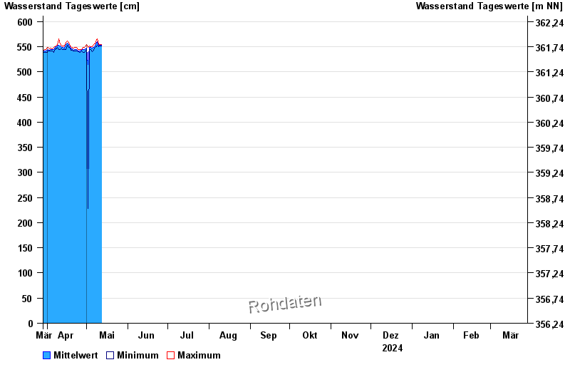
Chart of year Eschelbach / Inn
Waterlevel from 29.03.2024 to 28.03.2025
| Date | Mean value [cm] | Maximum [cm] | Minimum [cm] |
|---|---|---|---|
| 02.06.2024 | 571 | 581 | 567 |
| 01.06.2024 | 587 | 606 | 578 |
| 31.05.2024 | 580 | 593 | 571 |
| 30.05.2024 | 565 | 575 | 557 |
| 29.05.2024 | 569 | 577 | 560 |
| 28.05.2024 | 565 | 578 | 555 |
| 27.05.2024 | 553 | 555 | 551 |
© Bayerisches Landesamt für Umwelt 2024