
- Start >
- Rivers >
- Waterlevel >
- Inn >
- Staufeneck >
- Chart of month

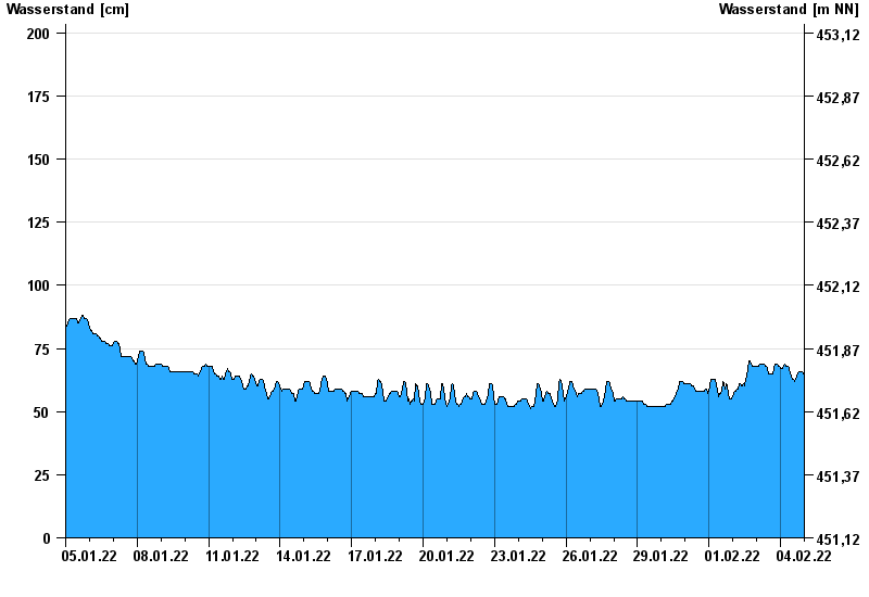
Chart of month Staufeneck / Saalach
Waterlevel from 05.01.2022 to 04.02.2022
- 14.09.1899 Wasserstand: 551 cm
- 05.07.1918 Wasserstand: 494 cm
- 07.09.1920 Wasserstand: 489 cm
- 07.08.1905 Wasserstand: 486 cm
- 31.07.1924 Wasserstand: 481 cm
| Date | Waterlevel [cm] |
|---|---|
| 04.02.2022 23:45 | 63 |
| 04.02.2022 23:30 | 64 |
| 04.02.2022 23:15 | 64 |
| 04.02.2022 23:00 | 64 |
| 04.02.2022 22:45 | 65 |
| 04.02.2022 22:30 | 65 |
| 04.02.2022 22:15 | 65 |
© Bayerisches Landesamt für Umwelt 2024