
- Start >
- Rivers >
- Waterlevel >
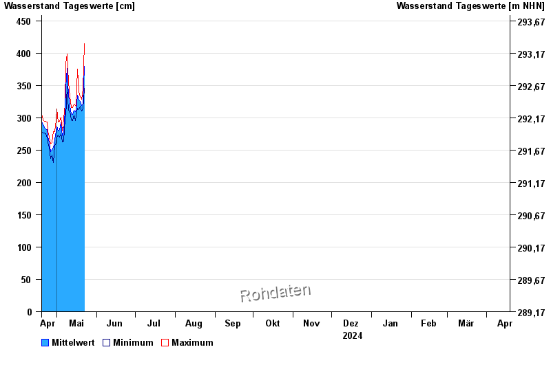
- Inn >
- Passau Ingling >
- Chart of year

Chart of year Passau Ingling / Inn
Waterlevel from 19.04.2024 to 18.04.2025
- Hochwassergefahrenfläche HQ100 1140 cm
| Date | Mean value [cm] | Maximum [cm] | Minimum [cm] |
|---|---|---|---|
| 07.06.2024 | 577 | 584 | 565 |
| 06.06.2024 | 585 | 595 | 576 |
| 05.06.2024 | 621 | 665 | 596 |
| 04.06.2024 | 728 | 784 | 668 |
| 03.06.2024 | 575 | 667 | 530 |
| 02.06.2024 | 572 | 617 | 539 |
| 01.06.2024 | 524 | 617 | 468 |
© Bayerisches Landesamt für Umwelt 2024