
- Start >
- Rivers >
- Waterlevel >
- Oberer Main - Elbe >
- Schlehenmühle >
- Current values

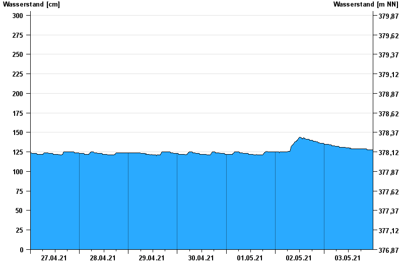
Current values Schlehenmühle / Roter Main
Waterlevel from 27.04.2021 to 03.05.2021
- 26.01.1995 Wasserstand: 399 cm
- 06.06.1984 Wasserstand: 363 cm
- 13.01.2011 Wasserstand: 337 cm
- 07.02.1984 Wasserstand: 324 cm
- 21.03.2002 Wasserstand: 323 cm
| Date | Waterlevel [cm] |
|---|---|
| 04.05.2021 00:45 | 128 |
| 04.05.2021 00:30 | 128 |
| 04.05.2021 00:15 | 128 |
| 04.05.2021 00:00 | 127 |
| 03.05.2021 23:45 | 128 |
| 03.05.2021 23:30 | 128 |
| 03.05.2021 23:15 | 128 |
© Bayerisches Landesamt für Umwelt 2024