
- Start >
- Rivers >
- Waterlevel >
- Oberer Main - Elbe >
- Behringersmühle >
- Current values

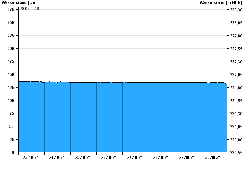
Current values Behringersmühle / Wiesent
Waterlevel from 23.10.2021 to 30.10.2021
- 13.01.2011 Wasserstand: 290 cm
- 03.06.2013 Wasserstand: 279 cm
- 27.08.2010 Wasserstand: 278 cm
- 23.12.2012 Wasserstand: 276 cm
- 28.05.2006 Wasserstand: 273 cm
| Date | Waterlevel [cm] |
|---|---|
| 31.10.2021 00:45 | 132 |
| 31.10.2021 00:30 | 132 |
| 31.10.2021 00:15 | 132 |
| 31.10.2021 00:00 | 132 |
| 30.10.2021 23:45 | 132 |
| 30.10.2021 23:30 | 132 |
| 30.10.2021 23:15 | 132 |
© Bayerisches Landesamt für Umwelt 2024