
- Start >
- Rivers >
- Suspended sediment >
- Isar >
- Unterjettenberg >
- Master data

Master data Unterjettenberg
Site number: 18642003
Community: Schneizlreuth
District: Berchtesgadener Land
Operator:  Wasserwirtschaftsamt Traunstein
Body of water: Saalach
Easting: 786898 (ETRS89 / UTM Zone 32N)
Northing: 5287948
Gauge zero point: 494.40 m NN (DHHN12)
Picture of the measurement site
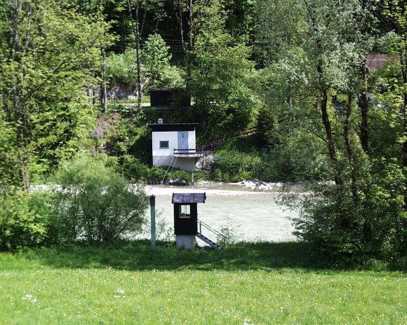
Location of the station Unterjettenberg / Saalach
| Measurement site | Category |
|---|---|
 Bergen Bergen | Rivers: Runoff, Waterlevel |
| Hochberg | Rivers: Runoff, Waterlevel |
| Fritz am Sand | Rivers: Runoff, Waterlevel |
| Siegsdorf | Rivers: Runoff, Waterlevel |
© Bayerisches Landesamt für Umwelt 2026