
- Start >
- Rivers >
- Discharge >
- Inn >
- Schneizlreuth Weißbach >
- Master data

Master data Schneizlreuth Weißbach
Site number: 18645001
Community: Schneizlreuth
District: Berchtesgadener Land
Operator:  Wasserwirtschaftsamt Traunstein
Body of water: Weißbach
Catchment: 38.70 km2
River chainage: 0.56 km
Easting: 785234 (ETRS89 / UTM Zone 32N)
Northing: 5289207
Gauge zero point: 507.42 m NHN (DHHN2016)
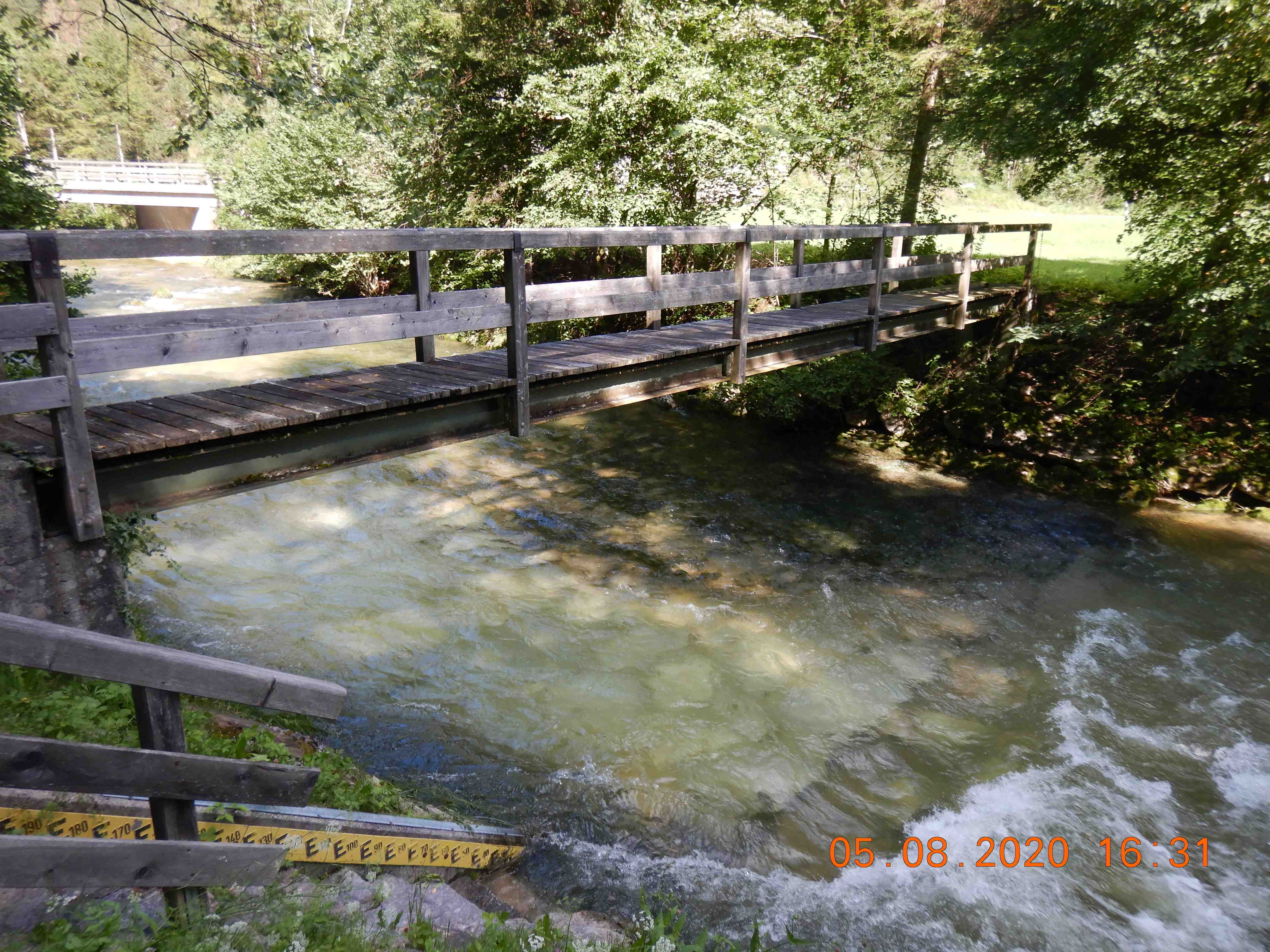
Picture of the measurement site
Location of the station Schneizlreuth Weißbach / Weißbach
| Measurement site | Category |
|---|---|
 Bergen Bergen | Rivers: Runoff, Waterlevel |
| Hochberg | Rivers: Runoff, Waterlevel |
| Fritz am Sand | Rivers: Runoff, Waterlevel |
| Siegsdorf | Rivers: Runoff, Waterlevel |
© Bayerisches Landesamt für Umwelt 2026