
- Start >
- Rivers >
- Discharge >
- Bayern >
- Schnaittach Markt >
- Master data

Master data Schnaittach Markt
Site number: 24228009
Community: Schnaittach
District: Nürnberger Land
Operator:  Wasserwirtschaftsamt Nürnberg
Body of water: Schnaittach
Catchment: 62.20 km2
River chainage: 7.84 km
Easting: 669445 (ETRS89 / UTM Zone 32N)
Northing: 5492152
Gauge zero point: 344.46 m NN (DHHN12)
Picture of the measurement site
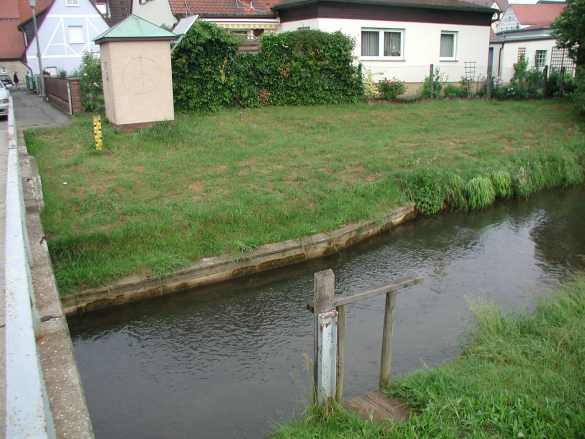
Location of the station Schnaittach Markt / Schnaittach
| Measurement site | Category |
|---|---|
 Rasch Rasch | Rivers: Runoff, Waterlevel |
| Wendelstein | Rivers: Runoff, Waterlevel |
| Michelfeld | Rivers: Runoff, Waterlevel |
| Güntersthal | Rivers: Runoff, Waterlevel, Water temperature, Water temperature |
© Bayerisches Landesamt für Umwelt 2026