
- Start >
- Rivers >
- Chemistry >
- Untere Donau >
- uh. Strbr. Mangolding >
- Master data

Master data uh. Strbr. Mangolding
Site number: 10157
Community: Mintraching
District: Regensburg
Operator: WWA Regensburg
Body of water: Pfatter
Catchment: 22.42 km2
Easting: 736056 (ETRS89 / UTM Zone 32N)
Northing: 5426519
- state measurement sites
For the measurement site uh. Strbr. Mangolding at the moment no extended master data available.
Picture of the measurement site
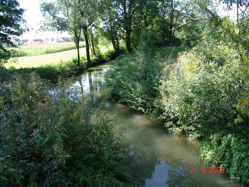
Location of the station uh. Strbr. Mangolding / Pfatter
| Measurement site | Category |
|---|---|
 Oberndorf Oberndorf | Rivers: Runoff, Waterlevel, Water temperature, Water temperature |
| Schwabelweis | Rivers: Runoff, Waterlevel, Water temperature, Water temperature |
| Heuweg | Rivers: Runoff, Waterlevel |
| Hammermühle | Rivers: Runoff, Waterlevel, Water temperature, Water temperature |
© Bayerisches Landesamt für Umwelt 2026