
- Start >
- Rivers >
- Chemistry >
- Bayern >
- Oh. Mdg. Höhe Bronnerlehe >
- Master data

Master data Oh. Mdg. Höhe Bronnerlehe
Site number: 115858
Community: Kirchheim i.Schw., M
District: Unterallgäu
Operator: WWA Kempten
Body of water: Östliche Mindel
Catchment: --
Easting: 608552 (ETRS89 / UTM Zone 32N)
Northing: 5334943
- state measurement sites
 extended master data - (PDF)
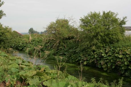
Picture of the measurement site
Location of the station Oh. Mdg. Höhe Bronnerlehe / Östliche Mindel
| Measurement site | Category |
|---|---|
| Lauben | Rivers: Runoff, Waterlevel |
| Nattenhausen | Rivers: Runoff, Waterlevel |
| Waldstetten | Rivers: Runoff, Waterlevel, Water temperature, Water temperature |
| Dirlewang HRB Abfluss | Rivers: Runoff |
© Bayerisches Landesamt für Umwelt 2026