
- Start >
- Rivers >
- Biology >
- Bayern >
- SH Freudenberg km 146,2 oh Buhnenfeld b. Faulbach, MHS >
- Master data

Master data SH Freudenberg km 146,2 oh Buhnenfeld b. Faulbach, MHS
Site number: 193259
Community: Faulbach
District: Miltenberg
Operator: WWA Aschaffenburg
Body of water: Main
Catchment: --
Easting: 531210 (ETRS89 / UTM Zone 32N)
Northing: 5515195
- state measurement sites
For the measurement site SH Freudenberg km 146,2 oh Buhnenfeld b. Faulbach, MHS at the moment no extended master data available.
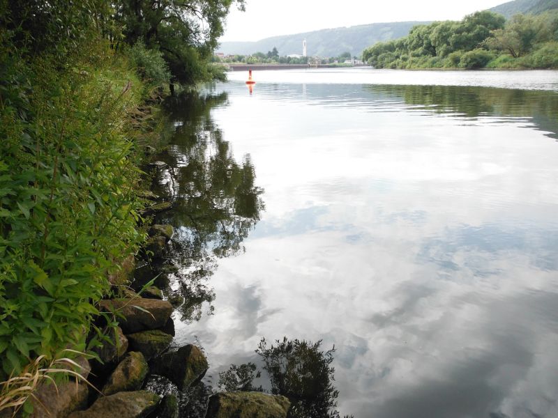
Picture of the measurement site
Location of the station SH Freudenberg km 146,2 oh Buhnenfeld b. Faulbach, MHS / Main
| Measurement site | Category |
|---|---|
 Steinbach Steinbach | Rivers: Runoff, Waterlevel, Water temperature, Water temperature |
| Steinbach Q | Rivers: Runoff |
| Kleinheubach | Rivers: Runoff, Waterlevel, Water temperature, Water temperature |
| Partenstein | Rivers: Runoff, Waterlevel |
© Bayerisches Landesamt für Umwelt 2025