
- Start >
- Meteorology >
- Snow >
- Bayern >
- Colmberg-Binzwangen >
- Master data

Master data Colmberg-Binzwangen
Site number: 6283
Community: Colmberg
District: Ansbach
Operator: Bayerisches Landesamt für Umwelt
Easting: 599669 (ETRS89 / UTM Zone 32N)
Northing: 5470918
Ground level: 434 m above sealevel
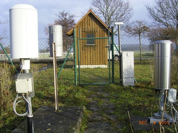
Picture of the measurement site
Location of the station Colmberg-Binzwangen
| Measurement site | Category |
|---|---|
 Reichenbach Reichenbach | Rivers: Runoff, Waterlevel |
| Rödenweiler | Rivers: Runoff, Waterlevel |
| Binzwangen | Rivers: Runoff, Waterlevel |
| Thann | Rivers: Runoff, Waterlevel |
© Bayerisches Landesamt für Umwelt 2026