
- Start >
- Meteorology >
- Precipitation >
- Unterer Main >
- Großostheim >
- Master data

Master data Großostheim
Site number: 1851
Community: Großostheim
District: Aschaffenburg
Operator: Bayerisches Landesamt für Umwelt
Easting: 506525 (ETRS89 / UTM Zone 32N)
Northing: 5530044
Ground level: 110 m above sealevel
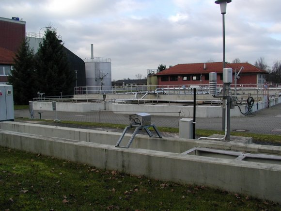
Picture of the measurement site
Location of the station Großostheim
| Measurement site | Category |
|---|---|
 Kleinheubach Kleinheubach | Rivers: Runoff, Waterlevel, Water temperature, Water temperature |
| Bürgstadt | Rivers: Runoff, Waterlevel |
| Weilbach | Rivers: Runoff, Waterlevel |
| Hobbach | Rivers: Runoff, Waterlevel |
© Bayerisches Landesamt für Umwelt 2026