
- Start >
- Meteorology >
- Precipitation >
- Oberer Main - Elbe >
- Helmbrechts >
- Master data

Master data Helmbrechts
Site number: 2119
Community: Helmbrechts
District: Hof
Operator: Bayerisches Landesamt für Umwelt
Easting: 692779 (ETRS89 / UTM Zone 32N)
Northing: 5568619
Ground level: 650 m above sealevel
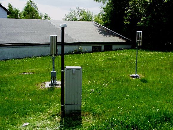
Picture of the measurement site
Location of the station Helmbrechts
| Measurement site | Category |
|---|---|
 Bad Berneck Bad Berneck | Rivers: Runoff, Waterlevel |
| Ködnitz | Rivers: Runoff, Waterlevel, Water temperature, Water temperature |
| Kulmbach | Rivers: Runoff, Waterlevel |
| Bad Berneck | Rivers: Runoff, Waterlevel |
© Bayerisches Landesamt für Umwelt 2026