
- Start >
- Meteorology >
- Precipitation >
- Bayern >
- Oberaurach-Fatschenbrunn >
- Master data

Master data Oberaurach-Fatschenbrunn
Site number: 3681
Community: Oberaurach
District: Haßberge
Operator: Bayerisches Landesamt für Umwelt
Easting: 614566 (ETRS89 / UTM Zone 32N)
Northing: 5530814
Ground level: 426 m above sealevel
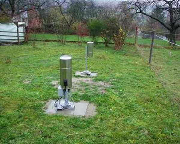
Picture of the measurement site
Location of the station Oberaurach-Fatschenbrunn
| Measurement site | Category |
|---|---|
 Trunstadt Trunstadt | Rivers: Runoff, Waterlevel, Water temperature, Water temperature |
| Trunstadt Q | Rivers: Runoff |
| Lohr | Rivers: Runoff, Waterlevel |
| Leucherhof | Rivers: Runoff, Waterlevel |
© Bayerisches Landesamt für Umwelt 2026