
- Start >
- Lakes >
- Chemistry >
- Oberer Main - Elbe >
- Tiefste Stelle >
- Master data

Master data Tiefste Stelle
Site number: 2007
Community: Füssen, St
District: Ostallgäu
Operator: WWA Kempten
Body of water: Hopfensee
Catchment: 32.60 km2
Easting: 626143 (ETRS89 / UTM Zone 32N)
Northing: 5273675
- state measurement sites
For the measurement site Tiefste Stelle at the moment no extended master data available.
Picture of the measurement site
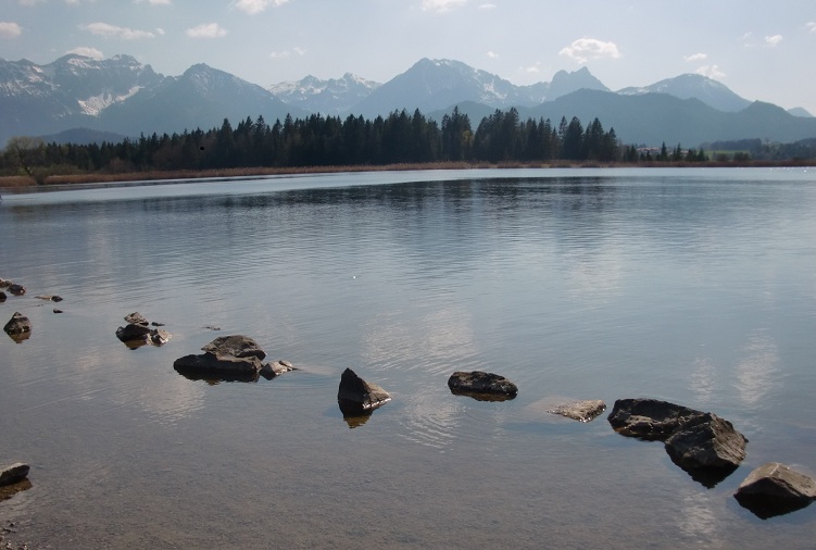
Location of the station Tiefste Stelle / Hopfensee
| Measurement site | Category |
|---|---|
 Füssen Füssen | Rivers: Runoff, Waterlevel, Suspended sediment |
| Füssen (virtuell) | Rivers: Runoff |
| Lechbruck | Rivers: Runoff, Waterlevel |
| Pfronten Ried | Rivers: Runoff, Waterlevel |
© Bayerisches Landesamt für Umwelt 2026