
- Start >
- Lakes >
- Biology >
- Obere Donau >
- Tiefste Stelle, Seemitte >
- Master data

Master data Tiefste Stelle, Seemitte
Site number: 2218
Community: Spalt, St
District: Roth
Operator: WWA Ansbach
Body of water: Igelsbachsee
Catchment: 15.50 km2
Easting: 639185 (ETRS89 / UTM Zone 32N)
Northing: 5445214
- state measurement sites
For the measurement site Tiefste Stelle, Seemitte at the moment no extended master data available.
Picture of the measurement site
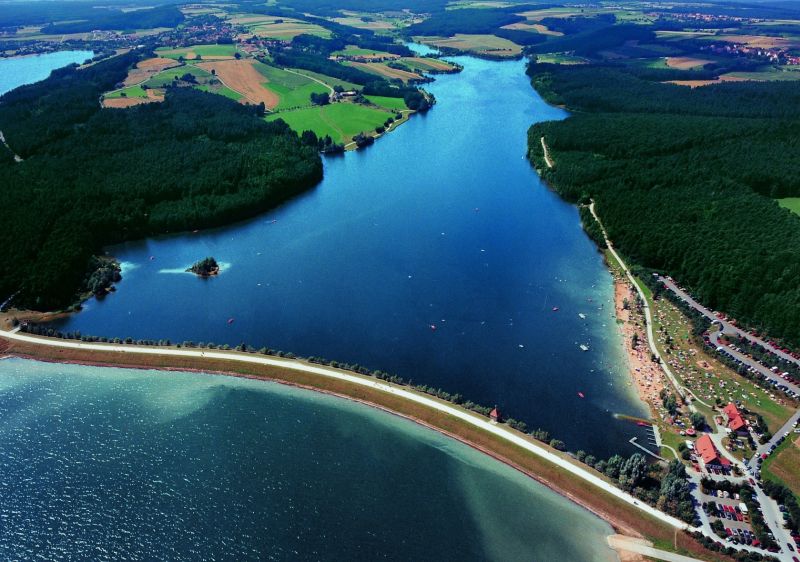
Location of the station Tiefste Stelle, Seemitte / Igelsbachsee
| Measurement site | Category |
|---|---|
 Hahnenkammsee Hahnenkammsee | Rivers: Runoff, Waterlevel |
| Gunzenhausen | Rivers: Runoff |
| Aha | Rivers: Runoff, Waterlevel |
| Treuchtlingen | Rivers: Runoff, Waterlevel |
© Bayerisches Landesamt für Umwelt 2026