
- Start >
- Groundwater >
- Waterlevel of upper layer >
- Untere Donau >
- LANDAU BW-U-I. 30-5 >
- Master data

Master data LANDAU BW-U-I. 30-5
Site number: 15143
Measuring point system: Grundnetz
Community: Pilsting
District: Dingolfing-Landau
Operator:  Wasserwirtschaftsamt Landshut
Aquifer: Quartär
Measurement site depth under ground: 7.68 m
Ground level: 343.73 m above sealevel
Easting: 766519 (ETRS89 / UTM Zone 32N)
Northing: 5397914
Observation period: 05.03.1975 to 20.05.2026
Hauptwerte (Tagesmittelwerte):
Maximum waterlevel (HHW): 342.21 m above sealevel
Mean waterlevel (MW): 340.93 m above sealevel
Minimum waterlevel (NNW): 340.25 m above sealevel
Mean Highest Groundwater Level (MHGW): 341.46 m above sealevel (Period: 01.11.1974 - 01.11.2026)
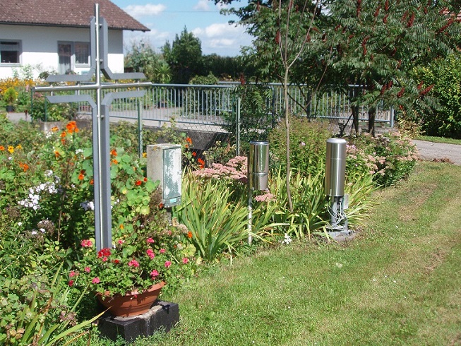
Picture of the measurement site
Location of the station LANDAU BW-U-I. 30-5
| Measurement site | Category |
|---|---|
 Pfelling Pfelling | Rivers: Runoff, Waterlevel |
| Schönach | Rivers: Runoff, Waterlevel, Suspended sediment |
| Salching | Rivers: Runoff, Waterlevel |
| Haberkofen | Rivers: Runoff, Waterlevel |