
- Start >
- Groundwater >
- Waterlevel of upper layer >
- Untere Donau >
- KOESSNACH N1 >
- Master data

Master data KOESSNACH N1
Site number: 82018
Measuring point system: Staatliches Sondernetz
Community: Kirchroth
District: Straubing-Bogen
Operator:  Wasserwirtschaftsamt Deggendorf
Aquifer:
Measurement site depth under ground: 6.50 m
Ground level: 319.71 m above sealevel
Easting: 760317 (ETRS89 / UTM Zone 32N)
Northing: 5425079
Observation period: 28.10.2014 to 14.04.2026
Hauptwerte (Tagesmittelwerte):
Maximum waterlevel (HHW): 317.95 m above sealevel
Mean waterlevel (MW): 316.89 m above sealevel
Minimum waterlevel (NNW): 316.63 m above sealevel
Mean Highest Groundwater Level (MHGW): 317.14 m above sealevel (Period: 01.11.2013 - 01.11.2026)
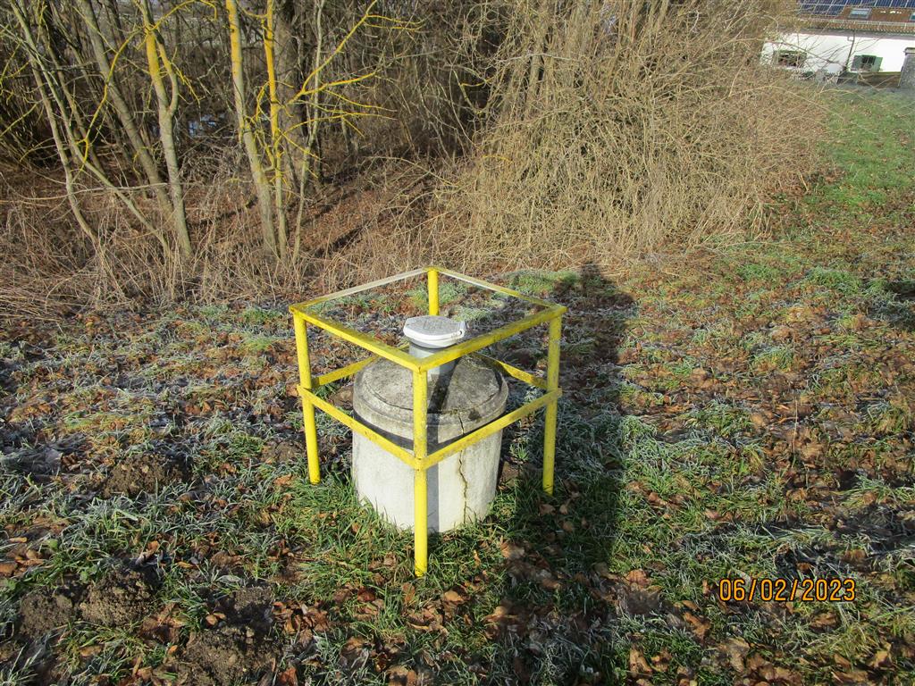
Picture of the measurement site
Location of the station KOESSNACH N1
| Measurement site | Category |
|---|---|
 Pfelling Pfelling | Rivers: Runoff, Waterlevel |
| Untergoßzell | Rivers: Runoff, Waterlevel |
| Schönach | Rivers: Runoff, Waterlevel, Suspended sediment |
| Salching | Rivers: Runoff, Waterlevel |