
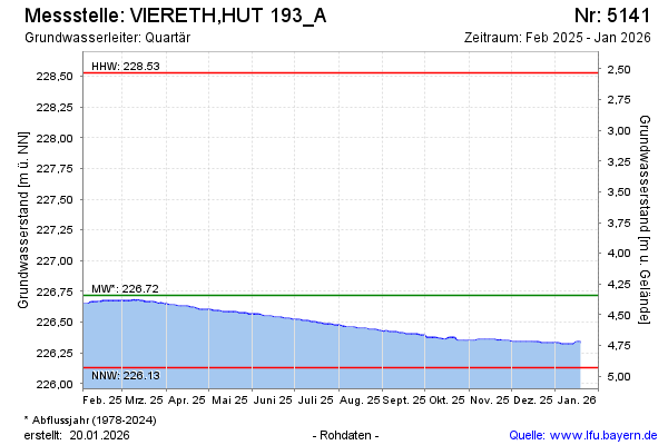
Current data Viereth, Hut 193 A
note
keine Tagaktuellen Daten: Datenfernübertragung defekt
Groundwater level [m above sealevel]: 226,52
Distance to surface [m]: 4,54
Last value from 15.07.2026 11:00
Ground level [m above sealevel]: 231.06
| Date | Groundwater level [m above sealevel] |
|---|---|
| 15.07.2026 | 226.52 |
| 14.07.2026 | 226.52 |
| 13.07.2026 | 226.53 |
| 12.07.2026 | 226.53 |
| 11.07.2026 | 226.53 |
| 10.07.2026 | 226.53 |
| 09.07.2026 | 226.53 |
| 08.07.2026 | 226.53 |