
- Start >
- Groundwater >
- Waterlevel of upper layer >
- Unterer Main >
- HEINRICHSTAL BO A >
- Master data

Master data HEINRICHSTAL BO A
Site number: 27118
Measuring point system: Grundnetz
Community: Fürstl.Löwensteinscher Park
District: Main-Spessart
Operator:  Wasserwirtschaftsamt Aschaffenburg
Aquifer: Buntsandstein
Measurement site depth under ground: 117.50 m
Ground level: 372.03 m above sealevel
Easting: 535213 (ETRS89 / UTM Zone 32N)
Northing: 5527364
Observation period: 01.11.1995 to 01.05.2026
Hauptwerte (Tagesmittelwerte):
Maximum waterlevel (HHW): 346.14 m above sealevel
Mean waterlevel (MW): 338.01 m above sealevel
Minimum waterlevel (NNW): 336.38 m above sealevel
Mean Highest Groundwater Level (MHGW): 341.55 m above sealevel (Period: 01.11.1995 - 01.11.2026)
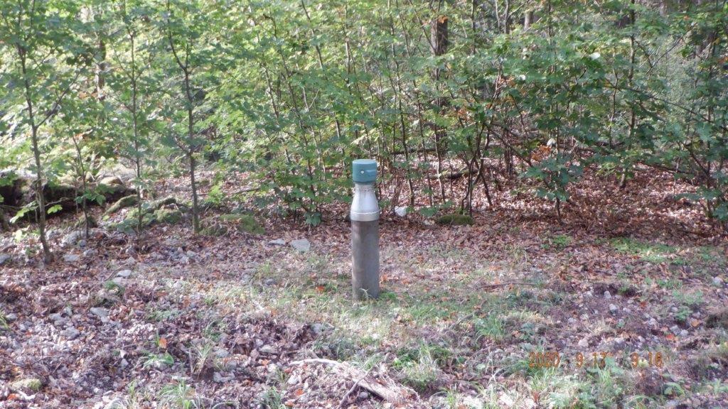
Picture of the measurement site
Location of the station HEINRICHSTAL BO A
| Measurement site | Category |
|---|---|
 Steinbach Steinbach | Rivers: Runoff, Waterlevel, Water temperature, Water temperature |
| Steinbach Q | Rivers: Runoff |
| Wolfsmünster | Rivers: Runoff, Waterlevel, Water temperature, Water temperature, Suspended sediment |
| Gräfendorf | Rivers: Runoff, Waterlevel, Water temperature, Water temperature |