
- Start >
- Groundwater >
- Waterlevel of upper layer >
- Unterer Main >
- ALZENAU-WASSERLOS 92B >
- Master data

Master data ALZENAU-WASSERLOS 92B
Site number: 4131
Measuring point system: Verdichtungsnetz
Community: Alzenau
District: Aschaffenburg
Operator:  Wasserwirtschaftsamt Aschaffenburg
Aquifer: Quartär
Measurement site depth under ground: 18.60 m
Ground level: 115.82 m above sealevel
Easting: 503493 (ETRS89 / UTM Zone 32N)
Northing: 5546350
Observation period: 06.11.1972 to 23.04.2026
Hauptwerte (Tagesmittelwerte):
Maximum waterlevel (HHW): 109.98 m above sealevel
Mean waterlevel (MW): 106.47 m above sealevel
Minimum waterlevel (NNW): 103.74 m above sealevel
Mean Highest Groundwater Level (MHGW): 106.62 m above sealevel (Period: 01.11.1972 - 01.11.2026)
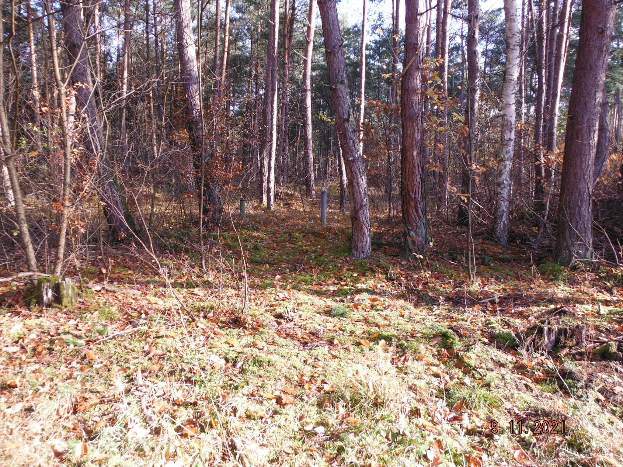
Picture of the measurement site
Location of the station ALZENAU-WASSERLOS 92B
| Measurement site | Category |
|---|---|
 Hobbach Hobbach | Rivers: Runoff, Waterlevel |
| Rück | Rivers: Runoff, Waterlevel |
| Goldbach | Rivers: Runoff, Waterlevel |
| Schöllkrippen | Rivers: Runoff, Waterlevel |