
- Start >
- Groundwater >
- Waterlevel of upper layer >
- Obere Donau >
- Wilburgstetten GM 5A F >
- Master data

Master data Wilburgstetten GM 5A F
Site number: 3129
Measuring point system: Grundnetz
Community: Wilburgstetten
District: Ansbach
Operator:  Wasserwirtschaftsamt Ansbach
Aquifer: Quartär
Measurement site depth under ground: 7.00 m
Ground level: 432.15 m above sealevel
Easting: 601724 (ETRS89 / UTM Zone 32N)
Northing: 5431864
Observation period: 17.04.1996 to 06.12.2025
Hauptwerte (Tagesmittelwerte):
Maximum waterlevel (HHW): 432.12 m above sealevel
Mean waterlevel (MW): 430.57 m above sealevel
Minimum waterlevel (NNW): 430.20 m above sealevel
Mean Highest Groundwater Level (MHGW): 431.70 m above sealevel (Period: 01.11.1995 - 01.11.2026)
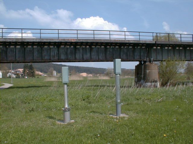
Picture of the measurement site
Location of the station Wilburgstetten GM 5A F
| Measurement site | Category |
|---|---|
 Reichenbach Reichenbach | Rivers: Runoff, Waterlevel |
| Gerolfingen | Rivers: Runoff, Waterlevel |
| Heroldingen | Rivers: Runoff, Waterlevel |
| Rödenweiler | Rivers: Runoff, Waterlevel |