
- Start >
- Groundwater >
- Waterlevel of upper layer >
- Obere Donau >
- UNTEREICHEN 931 >
- Master data

Master data UNTEREICHEN 931
Site number: 9223
Measuring point system: Grundnetz
Community: Altenstadt
District: Neu-Ulm
Operator:  Wasserwirtschaftsamt Donauwörth
Aquifer: Schotterflächen
Measurement site depth under ground: 6.66 m
Ground level: 524.83 m above sealevel
Easting: 582264 (ETRS89 / UTM Zone 32N)
Northing: 5336267
Observation period: 01.11.1982 to 25.05.2026
Hauptwerte (Tagesmittelwerte):
Maximum waterlevel (HHW): 520.48 m above sealevel
Mean waterlevel (MW): 519.60 m above sealevel
Minimum waterlevel (NNW): 518.99 m above sealevel
Mean Highest Groundwater Level (MHGW): 520.01 m above sealevel (Period: 01.11.1982 - 01.11.2026)
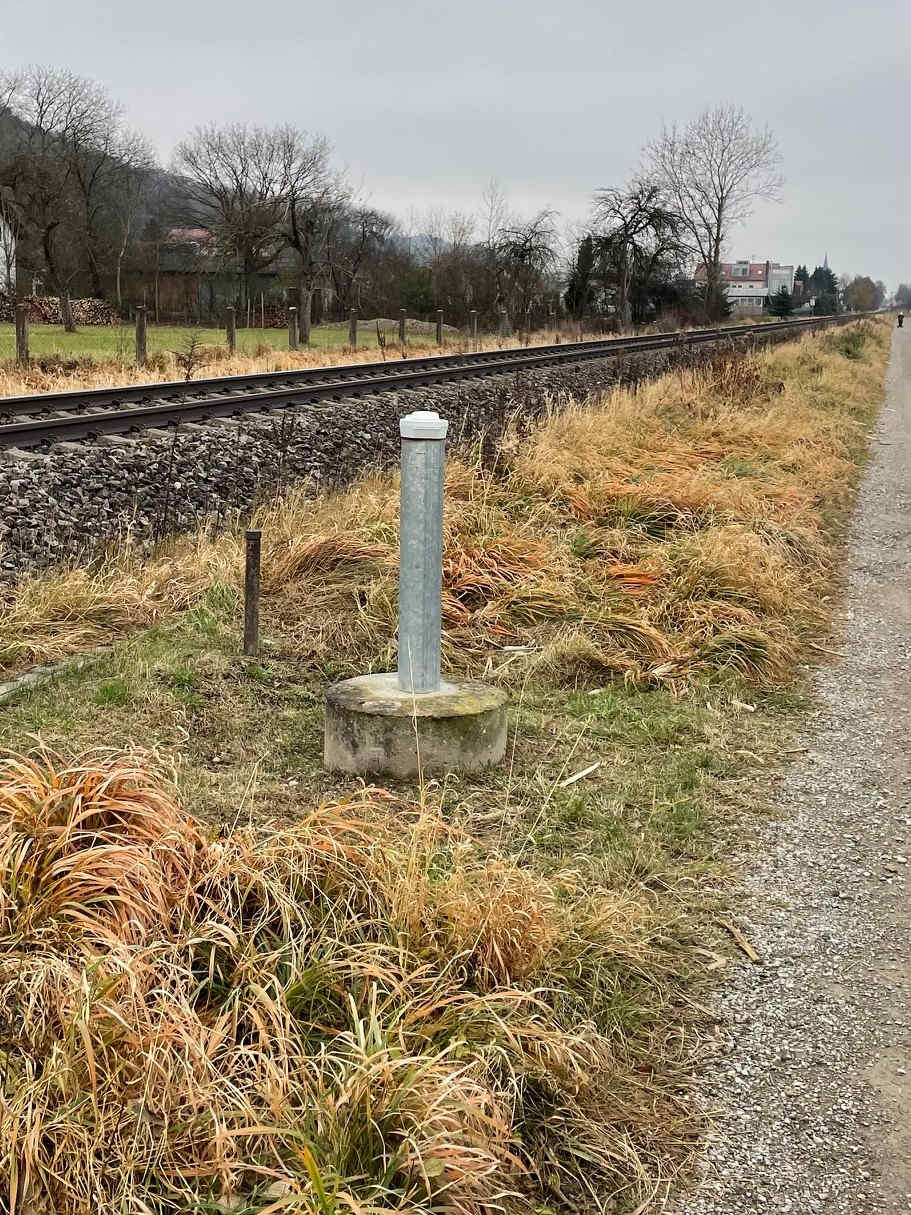
Picture of the measurement site
Location of the station UNTEREICHEN 931
| Measurement site | Category |
|---|---|
 Neu-Ulm Neu-Ulm | Rivers: Runoff, Waterlevel, Water temperature, Water temperature, Suspended sediment |
| Neu-Ulm Bad Held | Rivers: Runoff, Waterlevel |
| Neu-Ulm Q | Rivers: Runoff |
| Aitrach KW | Rivers: Runoff |