
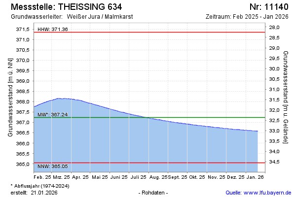
Current data THEISSING 634
Groundwater level [m above sealevel]: 366.58
Distance to surface [m]: 33.02
Last value from 02.07.2026 03:00
Ground level [m above sealevel]: 399.60
| Date | Groundwater level [m above sealevel] |
|---|---|
| 01.07.2026 | 366.59 |
| 30.06.2026 | 366.59 |
| 29.06.2026 | 366.59 |
| 28.06.2026 | 366.60 |
| 27.06.2026 | 366.60 |
| 26.06.2026 | 366.61 |
| 25.06.2026 | 366.61 |
| 24.06.2026 | 366.62 |