
Current data REHLING 740
Groundwater level [m above sealevel]: 442.99
Distance to surface [m]: 2.63
Last value from 16.12.2025 10:00
Ground level [m above sealevel]: 445.62
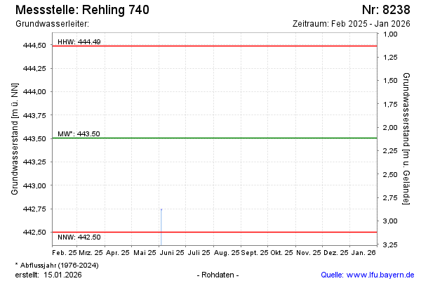
| Date | Groundwater level [m above sealevel] |
|---|---|
| 04.06.2025 | 442.74 |
| 03.06.2025 | 442.74 |
| 05.12.2024 | 443.19 |
| 05.07.2024 | 443.84 |
| 15.12.2023 | 443.84 |
| 14.06.2023 | 443.02 |
| 30.11.2022 | 442.57 |
| 20.06.2022 | 442.69 |