Year chart of precipitation KOTHAU 134A
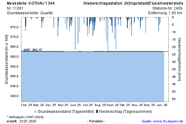
Groundwater level [m above sealevel]: 362,46
Distance to surface [m]: 3,29
Last value from 22.07.2026 10:00
Ground level [m above sealevel]: 365.75

Groundwater level [m above sealevel]: 362,46
Distance to surface [m]: 3,29
Last value from 22.07.2026 10:00
Ground level [m above sealevel]: 365.75