
- Start >
- Groundwater >
- Waterlevel of upper layer >
- Obere Donau >
- HOLZHEIM Q7 >
- Master data

Master data HOLZHEIM Q7
Site number: 20012
Measuring point system: Grundnetz
Community: Neumarkt i.d.OPf.
District: Neumarkt i.d.OPf.
Operator:  Wasserwirtschaftsamt Regensburg
Aquifer: Quartär
Measurement site depth under ground: 7.00 m
Ground level: 419.14 m above sealevel
Easting: 677924 (ETRS89 / UTM Zone 32N)
Northing: 5462848
Observation period: 05.12.2006 to 27.05.2026
Hauptwerte (Tagesmittelwerte):
Maximum waterlevel (HHW): 416.48 m above sealevel
Mean waterlevel (MW): 415.34 m above sealevel
Minimum waterlevel (NNW): 414.44 m above sealevel
Mean Highest Groundwater Level (MHGW): 415.76 m above sealevel (Period: 01.11.2006 - 01.11.2026)
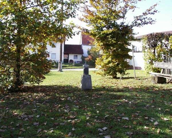
Picture of the measurement site
Location of the station HOLZHEIM Q7
| Measurement site | Category |
|---|---|
 Holnstein Holnstein | Rivers: Runoff, Waterlevel |
| Rasch | Rivers: Runoff, Waterlevel |
| Hohenstadt | Rivers: Runoff, Waterlevel |
| Lauf | Rivers: Runoff, Waterlevel |