
Current data DERCHING 636
Groundwater level [m above sealevel]: 469.44
Distance to surface [m]: 2.13
Last value from 16.12.2025 10:00
Ground level [m above sealevel]: 471.57
| Date | Groundwater level [m above sealevel] |
|---|---|
| 05.12.2024 | 467.75 |
| 05.07.2024 | 467.90 |
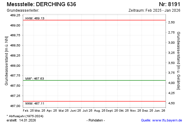
| 15.12.2023 | 469.13 |
| 15.06.2023 | 467.46 |
| 30.11.2022 | 467.38 |
| 20.06.2022 | 467.30 |
| 09.12.2021 | 467.50 |
| 20.07.2021 | 467.95 |