
- Start >
- Groundwater >
- Waterlevel of upper layer >
- Isar >
- SCHACHTNER - A 11A >
- Master data

Master data SCHACHTNER - A 11A
Site number: 42625
Measuring point system: Staatliches Sondernetz
Community: Mamming
District: Dingolfing-Landau
Operator:  Wasserwirtschaftsamt Landshut
Aquifer:
Measurement site depth under ground: 4.30 m
Ground level: 345.43 m above sealevel
Easting: 764427 (ETRS89 / UTM Zone 32N)
Northing: 5397770
Observation period: 01.11.1980 to 13.05.2026
Hauptwerte (Tagesmittelwerte):
Maximum waterlevel (HHW): 345.04 m above sealevel
Mean waterlevel (MW): 344.17 m above sealevel
Minimum waterlevel (NNW): 343.62 m above sealevel
Mean Highest Groundwater Level (MHGW): 344.53 m above sealevel (Period: 01.11.1980 - 01.11.2026)
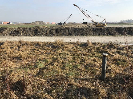
Picture of the measurement site
Location of the station SCHACHTNER - A 11A
| Measurement site | Category |
|---|---|
 Pfelling Pfelling | Rivers: Runoff, Waterlevel |
| Schönach | Rivers: Runoff, Waterlevel, Suspended sediment |
| Salching | Rivers: Runoff, Waterlevel |
| Haberkofen | Rivers: Runoff, Waterlevel |