
- Start >
- Groundwater >
- Waterlevel of upper layer >
- Isar >
- PIELWEICHS B 396 >
- Master data

Master data PIELWEICHS B 396
Site number: 7809
Measuring point system: Staatliches Sondernetz
Community: Plattling
District: Deggendorf
Operator:  Wasserwirtschaftsamt Deggendorf
Aquifer:
Measurement site depth under ground: 9.60 m
Ground level: 323.38 m above sealevel
Easting: 783157 (ETRS89 / UTM Zone 32N)
Northing: 5407502
Observation period: 01.11.1989 to 26.03.2026
Hauptwerte (Tagesmittelwerte):
Maximum waterlevel (HHW): 320.70 m above sealevel
Mean waterlevel (MW): 319.09 m above sealevel
Minimum waterlevel (NNW): 318.60 m above sealevel
Mean Highest Groundwater Level (MHGW): 319.83 m above sealevel (Period: 01.11.1989 - 01.11.2026)
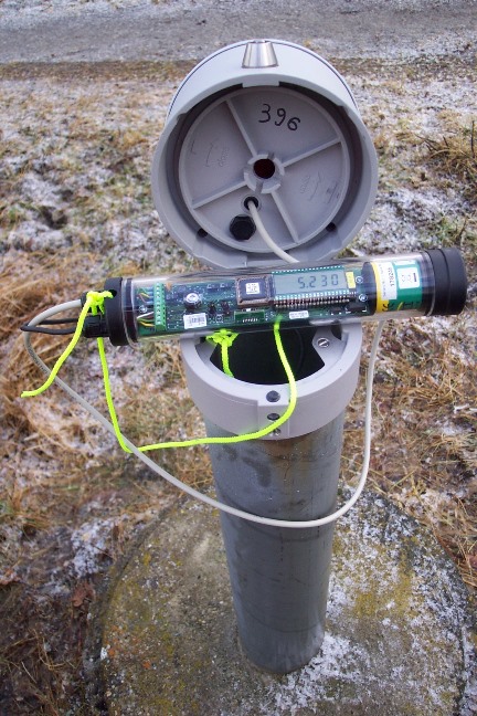
Picture of the measurement site
Location of the station PIELWEICHS B 396
| Measurement site | Category |
|---|---|
 Pfelling Pfelling | Rivers: Runoff, Waterlevel |
| Haberkofen | Rivers: Runoff, Waterlevel |
| Deggendorf | Rivers: Runoff, Waterlevel |
| Landau | Rivers: Runoff, Waterlevel, Water temperature, Water temperature |