
- Start >
- Groundwater >
- Waterlevel of upper layer >
- Iller - Lech - Bodensee >
- GEISENRIED P4 >
- Master data

Master data GEISENRIED P4
Site number: 13143
Measuring point system: Grundnetz
Community: Marktoberdorf
District: Ostallgäu
Operator:  Wasserwirtschaftsamt Kempten
Aquifer: Niederterrasse
Measurement site depth under ground: 16.00 m
Ground level: 743.96 m above sealevel
Easting: 618156 (ETRS89 / UTM Zone 32N)
Northing: 5291978
Observation period: 06.11.1995 to 05.03.2026
Hauptwerte (Tagesmittelwerte):
Maximum waterlevel (HHW): 732.91 m above sealevel
Mean waterlevel (MW): 730.70 m above sealevel
Minimum waterlevel (NNW): 729.39 m above sealevel
Mean Highest Groundwater Level (MHGW): 731.67 m above sealevel (Period: 01.11.1995 - 01.11.2026)
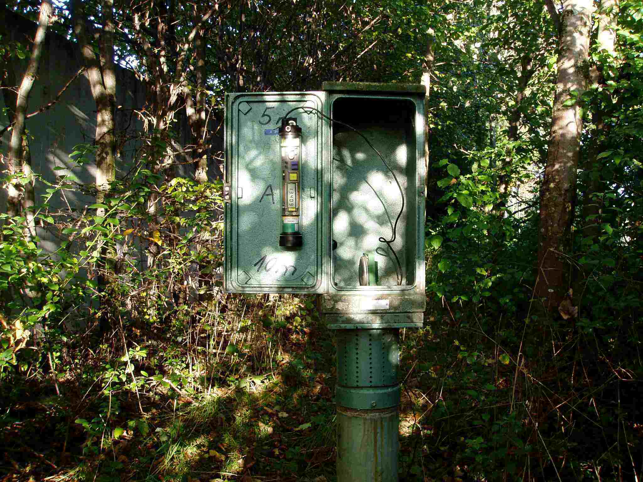
Picture of the measurement site
Location of the station GEISENRIED P4
| Measurement site | Category |
|---|---|
 Gschwend Gschwend | Rivers: Runoff, Waterlevel |
| Greifenmühle | Rivers: Runoff, Waterlevel |
| Durach | Rivers: Runoff, Waterlevel |
| Stielings | Rivers: Runoff, Waterlevel |