
- Start >
- Groundwater >
- Waterlevel of upper layer >
- Iller - Lech - Bodensee >
- AU/KLAERANLAGE D 74 >
- Master data

Master data AU/KLAERANLAGE D 74
Site number: 9261
Measuring point system: Verdichtungsnetz
Community: Illertissen
District: Neu-Ulm
Operator:  Wasserwirtschaftsamt Donauwörth
Aquifer: Quartär
Measurement site depth under ground: 10.00 m
Ground level: 504.00 m above sealevel
Easting: 579778 (ETRS89 / UTM Zone 32N)
Northing: 5344555
Observation period: 01.11.1986 to 08.05.2026
Hauptwerte (Tagesmittelwerte):
Maximum waterlevel (HHW): 501.08 m above sealevel
Mean waterlevel (MW): 499.84 m above sealevel
Minimum waterlevel (NNW): 499.14 m above sealevel
Mean Highest Groundwater Level (MHGW): 500.42 m above sealevel (Period: 01.11.1986 - 01.11.2026)
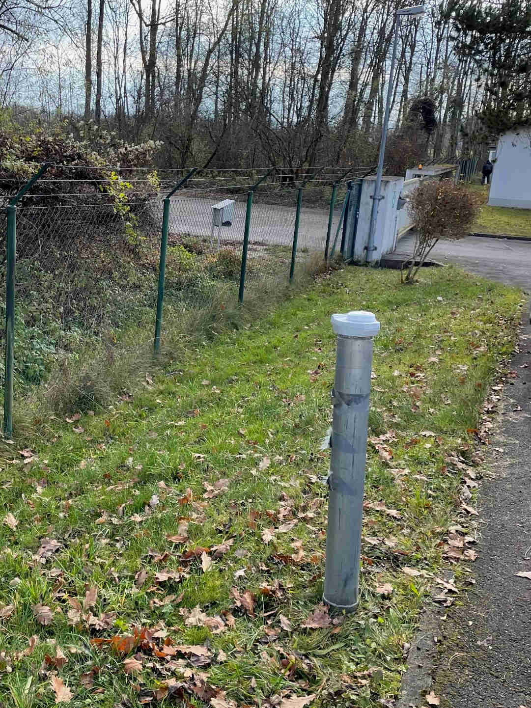
Picture of the measurement site
Location of the station AU/KLAERANLAGE D 74
| Measurement site | Category |
|---|---|
 Neu-Ulm Neu-Ulm | Rivers: Runoff, Waterlevel, Water temperature, Water temperature, Suspended sediment |
| Neu-Ulm Bad Held | Rivers: Runoff, Waterlevel |
| Neu-Ulm Q | Rivers: Runoff |
| Günzburg u. d. Günzmündung | Rivers: Runoff, Waterlevel |