
- Start >
- Groundwater >
- Waterlevel of upper layer >
- Oberer Main - Elbe >
- MICHELAU 1 >
- Master data

Master data MICHELAU 1
Site number: 5161
Measuring point system: Grundnetz
Community: Michelau i.OFr.
District: Lichtenfels
Operator:  Wasserwirtschaftsamt Kronach
Aquifer: Quartär
Measurement site depth under ground: 6.30 m
Ground level: 264.00 m above sealevel
Easting: 649239 (ETRS89 / UTM Zone 32N)
Northing: 5558954
Observation period: 18.06.1997 to 23.05.2026
Hauptwerte (Tagesmittelwerte):
Maximum waterlevel (HHW): 263.36 m above sealevel
Mean waterlevel (MW): 261.99 m above sealevel
Minimum waterlevel (NNW): 261.54 m above sealevel
Mean Highest Groundwater Level (MHGW): 262.94 m above sealevel (Period: 01.11.1996 - 01.11.2026)
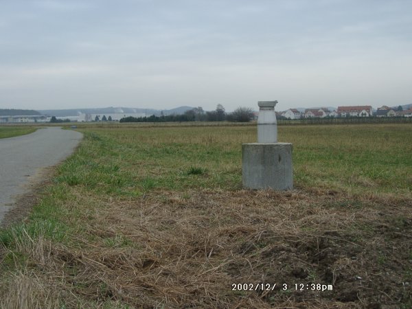
Picture of the measurement site
Location of the station MICHELAU 1
| Measurement site | Category |
|---|---|
 Schwürbitz Schwürbitz | Rivers: Runoff, Waterlevel, Water temperature, Water temperature |
| Kemmern | Rivers: Runoff, Waterlevel, Water temperature, Water temperature, Suspended sediment |
| Weismain | Rivers: Runoff, Waterlevel, Water temperature, Water temperature |
| Unterlangenstadt | Rivers: Runoff, Waterlevel |