
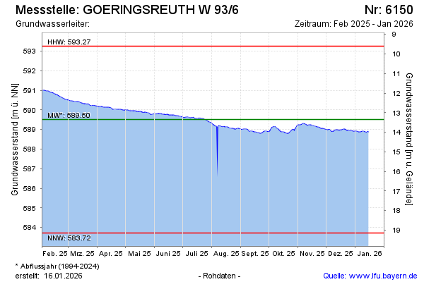
Current data GOERINGSREUTH W 93/6
Groundwater level [m above sealevel]: 588,71
Distance to surface [m]: 14,15
Last value from 22.07.2026 10:00
Ground level [m above sealevel]: 602.86
| Date | Groundwater level [m above sealevel] |
|---|---|
| 22.07.2026 | 588.73 |
| 21.07.2026 | 588.72 |
| 20.07.2026 | 588.72 |
| 19.07.2026 | 588.76 |
| 18.07.2026 | 588.77 |
| 17.07.2026 | 588.77 |
| 16.07.2026 | 588.77 |
| 15.07.2026 | 588.77 |