
- Start >
- Groundwater >
- Waterlevel of upper layer >
- Bayern >
- Wolnzach T2 >
- Current data

Current data Wolnzach T2
Groundwater levels of the last 12 months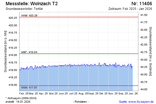
Groundwater level [m above sealevel]: 418.08
Distance to surface [m]: 43.77
Last value from 03.05.2024 10:00
Ground level [m above sealevel]: 461.85
| Date | Groundwater level [m above sealevel] |
|---|---|
| 02.05.2024 | 418.19 |
| 01.05.2024 | 418.20 |
| 30.04.2024 | 418.16 |
| 29.04.2024 | 418.10 |
| 28.04.2024 | 418.11 |
| 27.04.2024 | 418.13 |
| 26.04.2024 | 418.15 |
| 25.04.2024 | 418.16 |
© Bayerisches Landesamt für Umwelt 2024