
- Start >
- Groundwater >
- Waterlevel of upper layer >
- Bayern >
- WISSELSING_OP12 >
- Master data

Master data WISSELSING_OP12
Site number: 18673
Measuring point system: Staatliches Sondernetz
Community: Osterhofen
District: Deggendorf
Operator:  Wasserwirtschaftsamt Deggendorf
Aquifer: Hochterrasse
Measurement site depth under ground: 7.00 m
Ground level: 322.99 m above sealevel
Easting: 793591 (ETRS89 / UTM Zone 32N)
Northing: 5400772
Observation period: 12.02.2020 to 21.03.2026
Hauptwerte (Tagesmittelwerte):
Maximum waterlevel (HHW): 321.10 m above sealevel
Mean waterlevel (MW): 320.07 m above sealevel
Minimum waterlevel (NNW): 319.36 m above sealevel
Mean Highest Groundwater Level (MHGW): 320.24 m above sealevel (Period: 01.11.2019 - 01.11.2026)
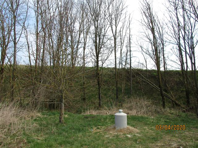
Picture of the measurement site
Location of the station WISSELSING_OP12
| Measurement site | Category |
|---|---|
 Pfelling Pfelling | Rivers: Runoff, Waterlevel |
| Hofkirchen | Rivers: Runoff, Waterlevel |
| Deggendorf | Rivers: Runoff, Waterlevel |
| Plattling | Rivers: Runoff, Waterlevel, Suspended sediment |