
- Start >
- Groundwater >
- Waterlevel of upper layer >
- Bayern >
- UNTERSCHLEISSHEIM/RATH >
- Master data

Master data UNTERSCHLEISSHEIM/RATH
Site number: 16272
Measuring point system: Verdichtungsnetz
Community: Unterschleißheim
District: München
Operator:  Wasserwirtschaftsamt München
Aquifer: Quartär
Measurement site depth under ground: 18.65 m
Ground level: 475.71 m above sealevel
Easting: 690731 (ETRS89 / UTM Zone 32N)
Northing: 5349729
Observation period: 01.05.1991 to 07.03.2026
Hauptwerte (Tagesmittelwerte):
Maximum waterlevel (HHW): 472.28 m above sealevel
Mean waterlevel (MW): 470.88 m above sealevel
Minimum waterlevel (NNW): 469.98 m above sealevel
Mean Highest Groundwater Level (MHGW): 471.33 m above sealevel (Period: 01.11.1990 - 01.11.2026)
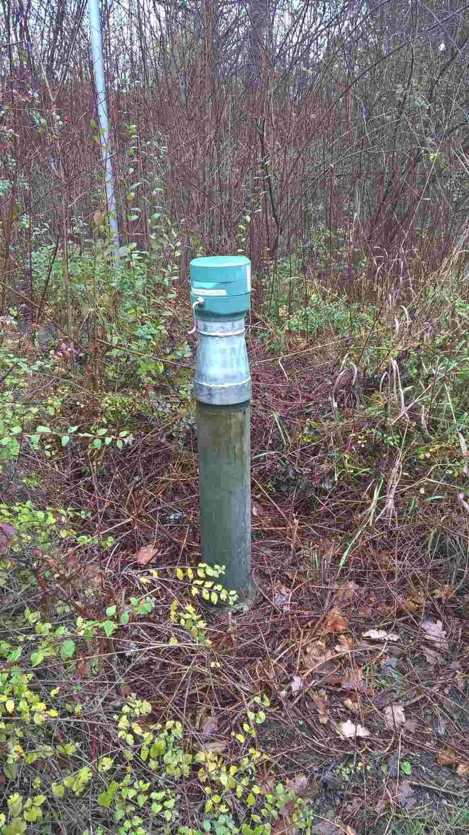
Picture of the measurement site
Location of the station UNTERSCHLEISSHEIM/RATH
| Measurement site | Category |
|---|---|
 Thalmannsdorf Thalmannsdorf | Rivers: Runoff, Waterlevel |
| München | Rivers: Runoff, Waterlevel, Water temperature, Water temperature, Suspended sediment |
| München (virtuell) | Rivers: Runoff |
| Freising | Rivers: Runoff, Waterlevel |