
- Start >
- Groundwater >
- Waterlevel of upper layer >
- Bayern >
- THIERHAUPTEN-N. D 35 >
- Current data

Current data THIERHAUPTEN-N. D 35
Groundwater levels of the last 12 months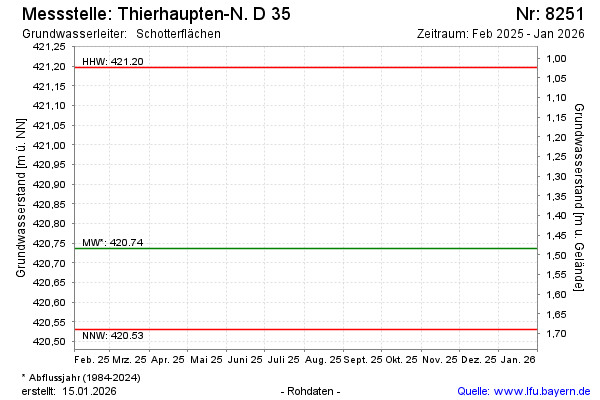
Groundwater level [m above sealevel]: 420.68
Distance to surface [m]: 1.54
Last value from 18.11.2025 12:50
Ground level [m above sealevel]: 422.22
| Date | Groundwater level [m above sealevel] |
|---|---|
| 31.10.2024 | 420.77 |
| 06.03.2024 | 420.64 |
| 04.04.2023 | 420.64 |
| 07.07.2022 | 420.67 |
| 03.03.2021 | 420.69 |
| 20.02.2020 | 420.75 |
| 24.01.2019 | 420.66 |
| 18.01.2018 | 420.75 |
© Bayerisches Landesamt für Umwelt 2026