
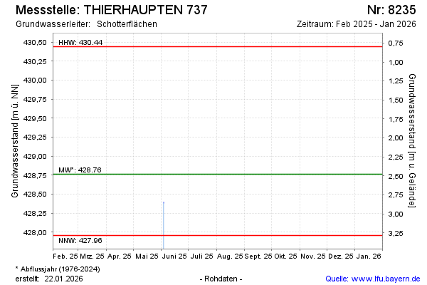
Current data THIERHAUPTEN 737
Groundwater level [m above sealevel]: 428.36
Distance to surface [m]: 2.88
Last value from 08.06.2026 10:00
Ground level [m above sealevel]: 431.24
| Date | Groundwater level [m above sealevel] |
|---|---|
| 04.06.2025 | 428.39 |
| 03.06.2025 | 428.39 |
| 05.12.2024 | 428.70 |
| 05.07.2024 | 429.51 |
| 15.12.2023 | 429.80 |
| 14.06.2023 | 428.67 |
| 30.11.2022 | 428.51 |
| 20.06.2022 | 428.53 |