
- Start >
- Groundwater >
- Waterlevel of upper layer >
- Bayern >
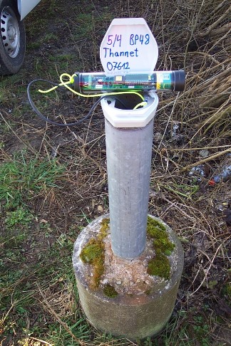
- THANNET/BP 48 5/4 >
- Master data

Master data THANNET/BP 48 5/4
Site number: 7612
Measuring point system: Staatliches Sondernetz
Community: Aholming
District: Deggendorf
Operator:  Wasserwirtschaftsamt Deggendorf
Aquifer:
Measurement site depth under ground: 4.56 m
Ground level: 317.73 m above sealevel
Easting: 787229 (ETRS89 / UTM Zone 32N)
Northing: 5407896
Observation period: 05.11.1948 to 31.03.2026
Hauptwerte (Tagesmittelwerte):
Maximum waterlevel (HHW): 316.96 m above sealevel
Mean waterlevel (MW): 315.70 m above sealevel
Minimum waterlevel (NNW): 315.02 m above sealevel
Mean Highest Groundwater Level (MHGW): 316.24 m above sealevel (Period: 01.11.1948 - 01.11.2026)
Picture of the measurement site
Location of the station THANNET/BP 48 5/4
| Measurement site | Category |
|---|---|
 Pfelling Pfelling | Rivers: Runoff, Waterlevel |
| Hofkirchen | Rivers: Runoff, Waterlevel |
| Haberkofen | Rivers: Runoff, Waterlevel |
| Deggendorf | Rivers: Runoff, Waterlevel |