
- Start >
- Groundwater >
- Waterlevel of upper layer >
- Bayern >
- Sonthofen Bahnhof >
- Master data

Master data Sonthofen Bahnhof
Site number: 13145
Measuring point system: Staatliches Sondernetz
Community: Sonthofen
District: Oberallgäu
Operator:  Wasserwirtschaftsamt Kempten
Aquifer: Quartär
Measurement site depth under ground: 9.30 m
Ground level: 734.77 m above sealevel
Easting: 595805 (ETRS89 / UTM Zone 32N)
Northing: 5262769
Observation period: 08.03.2001 to 19.08.2019
Hauptwerte (Tagesmittelwerte):
Maximum waterlevel (HHW): 734.66 m above sealevel
Mean waterlevel (MW): 733.58 m above sealevel
Minimum waterlevel (NNW): 732.52 m above sealevel
Mean Highest Groundwater Level (MHGW): 734.34 m above sealevel (Period: 01.11.2000 - 01.11.2019)
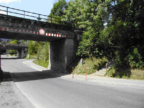
Picture of the measurement site
Location of the station Sonthofen Bahnhof
| Measurement site | Category |
|---|---|
 Sonthofen Sonthofen | Rivers: Runoff, Waterlevel, Water temperature, Water temperature |
| Kempten | Rivers: Runoff, Waterlevel, Water temperature, Water temperature, Suspended sediment |
| Birgsau | Rivers: Runoff, Waterlevel |
| Oberstdorf | Rivers: Runoff, Waterlevel |