
- Start >
- Groundwater >
- Waterlevel of upper layer >
- Bayern >
- Schnödhof-Kapelle Q4 >
- Master data

Master data Schnödhof-Kapelle Q4
Site number: 11005
Measuring point system: Grundnetz
Community: Burgheim
District: Neuburg-Schrobenhausen
Operator:  Wasserwirtschaftsamt Ingolstadt
Aquifer: Quartär
Measurement site depth under ground: 12.00 m
Ground level: 390.62 m above sealevel
Easting: 646929 (ETRS89 / UTM Zone 32N)
Northing: 5397975
Observation period: 30.07.2009 to 06.03.2026
Hauptwerte (Tagesmittelwerte):
Maximum waterlevel (HHW): 390.39 m above sealevel
Mean waterlevel (MW): 388.77 m above sealevel
Minimum waterlevel (NNW): 387.78 m above sealevel
Mean Highest Groundwater Level (MHGW): 389.43 m above sealevel (Period: 01.11.2008 - 01.11.2026)
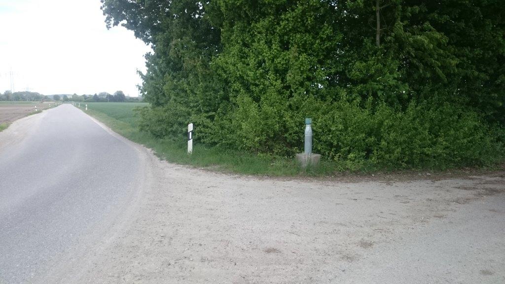
Picture of the measurement site
Location of the station Schnödhof-Kapelle Q4
| Measurement site | Category |
|---|---|
 Donauwörth Donauwörth | Rivers: Runoff, Waterlevel, Water temperature, Water temperature, Suspended sediment |
| Bertoldsheim KW | Rivers: Runoff |
| Bittenbrunn KW | Rivers: Runoff |
| Neuburg | Rivers: Runoff, Waterlevel |