
- Start >
- Groundwater >
- Waterlevel of upper layer >
- Bayern >
- Reichthalshof MU4 >
- Master data

Master data Reichthalshof MU4
Site number: 22144
Measuring point system: Grundnetz
Community: Euerbach
District: Schweinfurt
Operator:  Wasserwirtschaftsamt Bad Kissingen
Aquifer: Muschelkalk
Measurement site depth under ground: 80.00 m
Ground level: 303.51 m above sealevel
Easting: 576545 (ETRS89 / UTM Zone 32N)
Northing: 5550274
Observation period: 25.06.2001 to 20.05.2026
Hauptwerte (Tagesmittelwerte):
Maximum waterlevel (HHW): 277.19 m above sealevel
Mean waterlevel (MW): 264.81 m above sealevel
Minimum waterlevel (NNW): 262.07 m above sealevel
Mean Highest Groundwater Level (MHGW): 266.64 m above sealevel (Period: 01.11.2000 - 01.11.2026)
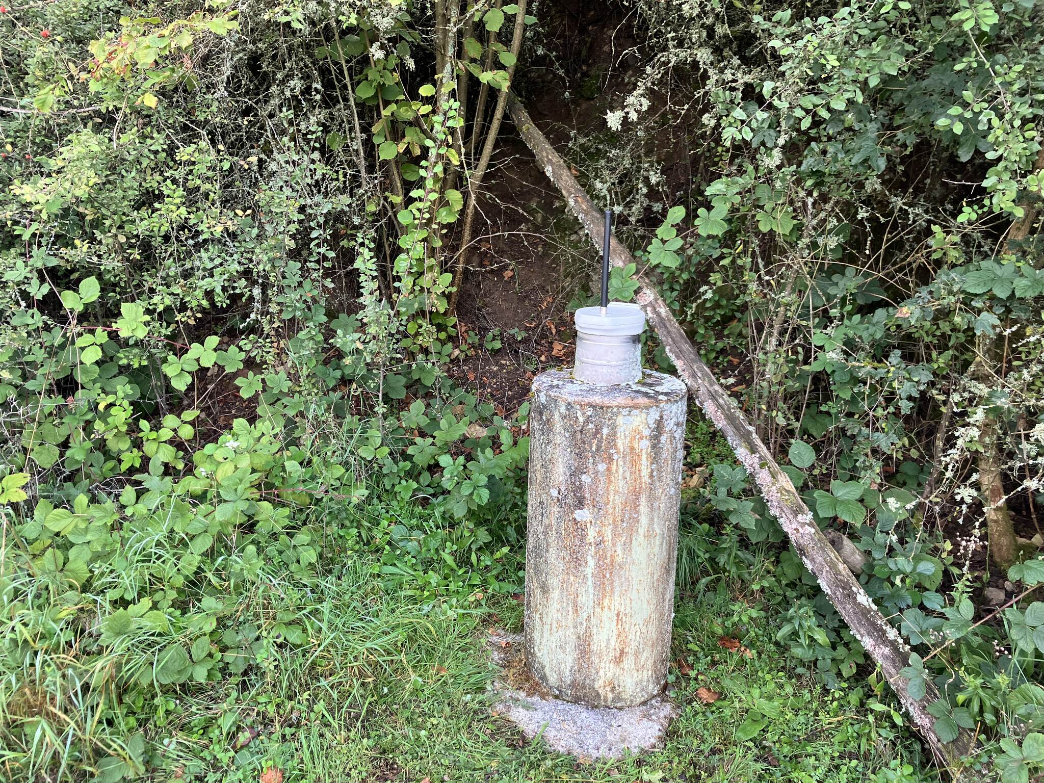
Picture of the measurement site
Location of the station Reichthalshof MU4
| Measurement site | Category |
|---|---|
 Schweinfurt Neuer Hafen Schweinfurt Neuer Hafen | Rivers: Runoff, Waterlevel, Water temperature, Water temperature |
| Brünnstadt | Rivers: Runoff, Waterlevel, Water temperature, Water temperature |
| Ettleben | Rivers: Runoff, Waterlevel |
| Arnstein | Rivers: Runoff, Waterlevel, Water temperature, Water temperature |