
- Start >
- Groundwater >
- Waterlevel of upper layer >
- Bayern >
- MOERSLINGEN D 44 >
- Master data

Master data MOERSLINGEN D 44
Site number: 9244
Measuring point system: Grundnetz
Community: Finningen
District:
Operator:  Wasserwirtschaftsamt Donauwörth
Aquifer: Schotterflächen
Measurement site depth under ground: 11.74 m
Ground level: 428.40 m above sealevel
Easting: 612260 (ETRS89 / UTM Zone 32N)
Northing: 5386710
Observation period: 27.11.1985 to 29.05.2026
Hauptwerte (Tagesmittelwerte):
Maximum waterlevel (HHW): 424.12 m above sealevel
Mean waterlevel (MW): 423.31 m above sealevel
Minimum waterlevel (NNW): 422.77 m above sealevel
Mean Highest Groundwater Level (MHGW): 423.58 m above sealevel (Period: 01.11.1985 - 01.11.2026)
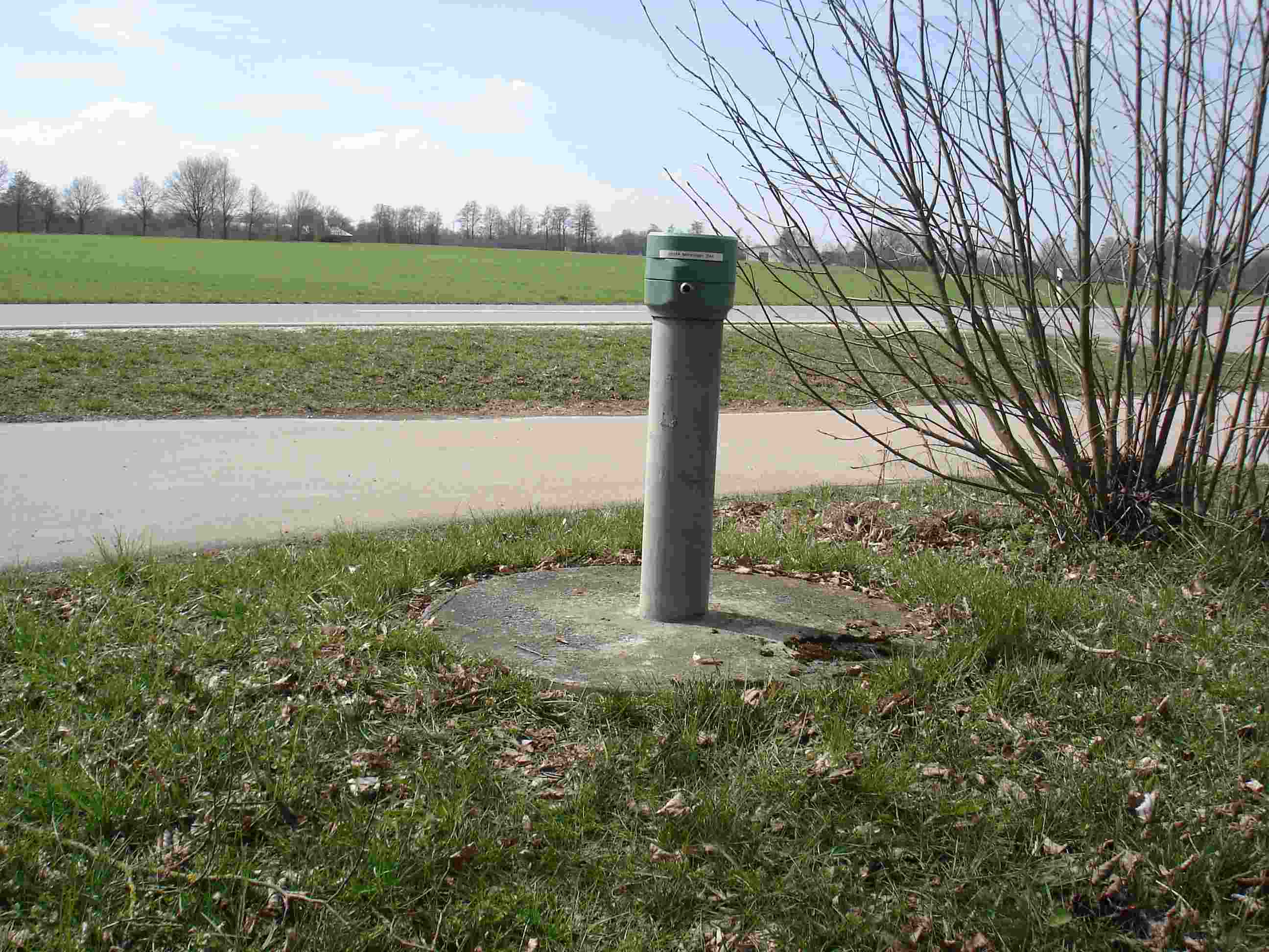
Picture of the measurement site
Location of the station MOERSLINGEN D 44
| Measurement site | Category |
|---|---|
 Günzburg u. d. Günzmündung Günzburg u. d. Günzmündung | Rivers: Runoff, Waterlevel |
| Dillingen | Rivers: Runoff, Waterlevel |
| Offingen | Rivers: Runoff, Waterlevel, Water temperature, Water temperature |
| Remshart | Rivers: Runoff, Waterlevel |