
- Start >
- Groundwater >
- Waterlevel of upper layer >
- Bayern >
- LANDAU-PARKPLATZ 82/3 >
- Master data

Master data LANDAU-PARKPLATZ 82/3
Site number: 42633
Measuring point system: Staatliches Sondernetz
Community: Landau a.d.Isar
District: Dingolfing-Landau
Operator:  Wasserwirtschaftsamt Landshut
Aquifer:
Measurement site depth under ground: 9.00 m
Ground level: 339.30 m above sealevel
Easting: 771935 (ETRS89 / UTM Zone 32N)
Northing: 5397751
Observation period: 01.11.1982 to 23.02.2026
Hauptwerte (Tagesmittelwerte):
Maximum waterlevel (HHW): 336.55 m above sealevel
Mean waterlevel (MW): 335.09 m above sealevel
Minimum waterlevel (NNW): 334.12 m above sealevel
Mean Highest Groundwater Level (MHGW): 335.71 m above sealevel (Period: 01.11.1982 - 01.11.2026)
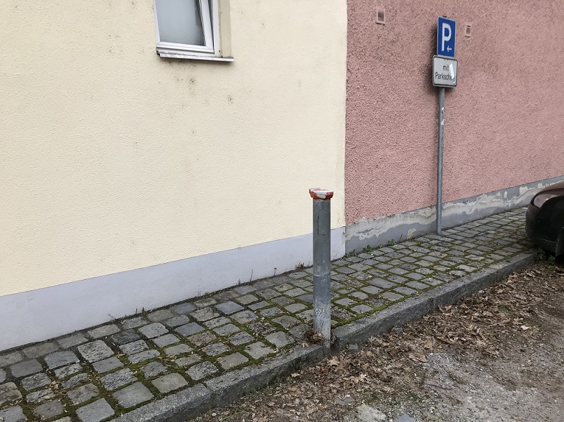
Picture of the measurement site
Location of the station LANDAU-PARKPLATZ 82/3
| Measurement site | Category |
|---|---|
 Pfelling Pfelling | Rivers: Runoff, Waterlevel |
| Salching | Rivers: Runoff, Waterlevel |
| Haberkofen | Rivers: Runoff, Waterlevel |
| Landau | Rivers: Runoff, Waterlevel, Water temperature, Water temperature |