
- Start >
- Groundwater >
- Waterlevel of upper layer >
- Bayern >
- KOESSNACH L 82 >
- Master data

Master data KOESSNACH L 82
Site number: 80771
Measuring point system: Staatliches Sondernetz
Community: Kirchroth
District: Straubing-Bogen
Operator:  Wasserwirtschaftsamt Deggendorf
Aquifer:
Measurement site depth under ground: --
Ground level: 317.88 m above sealevel
Easting: 759440 (ETRS89 / UTM Zone 32N)
Northing: 5426213
Observation period: 19.11.1973 to 27.05.2025
Hauptwerte (Tagesmittelwerte):
Maximum waterlevel (HHW): 317.68 m above sealevel
Mean waterlevel (MW): 316.66 m above sealevel
Minimum waterlevel (NNW): 315.22 m above sealevel
Mean Highest Groundwater Level (MHGW): 317.31 m above sealevel (Period: 01.11.1973 - 01.11.2025)
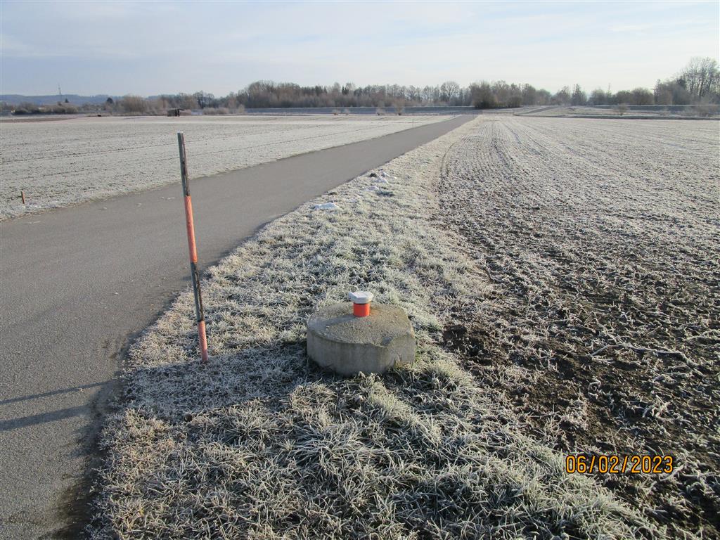
Picture of the measurement site
Location of the station KOESSNACH L 82
| Measurement site | Category |
|---|---|
 Pfelling Pfelling | Rivers: Runoff, Waterlevel |
| Chamerau | Rivers: Runoff, Waterlevel |
| Untergoßzell | Rivers: Runoff, Waterlevel |
| Schönach | Rivers: Runoff, Waterlevel, Suspended sediment |