
- Start >
- Groundwater >
- Waterlevel of upper layer >
- Bayern >
- Kimmelsbach km S 1 >
- Master data

Master data Kimmelsbach km S 1
Site number: 22176
Measuring point system: Staatliches Sondernetz
Community: Bundorf
District: Haßberge
Operator:  Wasserwirtschaftsamt Bad Kissingen
Aquifer: Schilfsandstein (Gipskeuper)
Measurement site depth under ground: --
Ground level: 325.39 m above sealevel
Easting: 608957 (ETRS89 / UTM Zone 32N)
Northing: 5561589
Observation period: 20.02.2025 to 11.03.2026
Hauptwerte (Tagesmittelwerte):
Maximum waterlevel (HHW): 325.44 m above sealevel
Mean waterlevel (MW): 324.85 m above sealevel
Minimum waterlevel (NNW): 324.43 m above sealevel
Mean Highest Groundwater Level (MHGW): 325.43 m above sealevel (Period: 01.11.2024 - 01.11.2026)
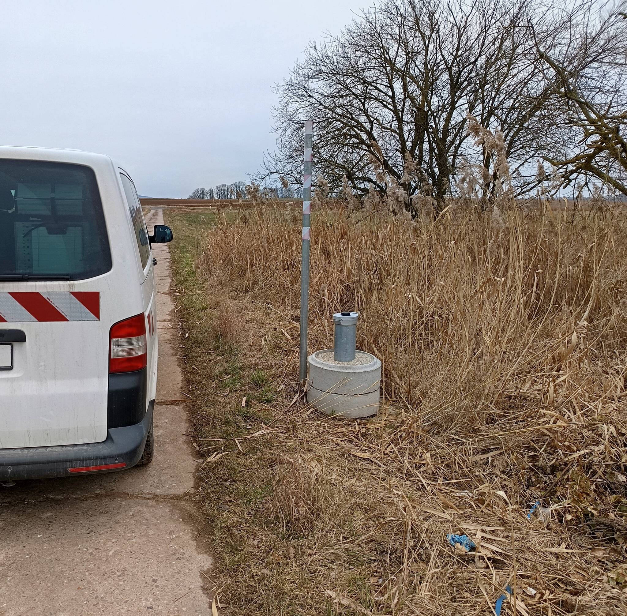
Picture of the measurement site
Location of the station Kimmelsbach km S 1
| Measurement site | Category |
|---|---|
 Lohr Lohr | Rivers: Runoff, Waterlevel |
| Pfarrweisach | Rivers: Runoff, Waterlevel |
| Römershofen | Rivers: Runoff, Waterlevel, Water temperature, Water temperature |
| Bad Königshofen im Grabfeld | Rivers: Runoff, Waterlevel |