
- Start >
- Groundwater >
- Waterlevel of upper layer >
- Bayern >
- Kalkofen 1 >
- Current data

Current data Kalkofen 1
Groundwater levels of the last 12 months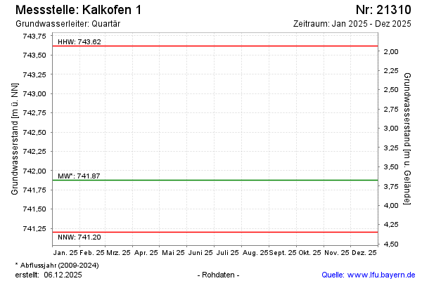
note
Die Messstelle wird nicht mehr beobachtet.
Groundwater level [m above sealevel]: 737.42
Distance to surface [m]: 8.13
Last value from 12.05.2025 10:00
Ground level [m above sealevel]: 745.55
| Date | Groundwater level [m above sealevel] |
|---|---|
| 01.10.2024 | 741.93 |
| 14.05.2024 | 741.63 |
| 12.10.2023 | 741.75 |
| 04.05.2023 | 742.13 |
| 05.10.2022 | 742.34 |
| 06.05.2022 | 741.98 |
| 12.10.2021 | 741.69 |
| 06.05.2021 | 742.48 |
© Bayerisches Landesamt für Umwelt 2026