
- Start >
- Groundwater >
- Waterlevel of upper layer >
- Bayern >
- Ibind km H2+3 >
- Master data

Master data Ibind km H2+3
Site number: 22175
Measuring point system: Staatliches Sondernetz
Community: Burgpreppach
District: Haßberge
Operator:  Wasserwirtschaftsamt Bad Kissingen
Aquifer: Burg- und Blasensandstein (Sandsteinkeuper)
Measurement site depth under ground: --
Ground level: 350.36 m above sealevel
Easting: 615827 (ETRS89 / UTM Zone 32N)
Northing: 5554846
Observation period: 25.02.2025 to 13.04.2026
Hauptwerte (Tagesmittelwerte):
Maximum waterlevel (HHW): 318.07 m above sealevel
Mean waterlevel (MW): 317.70 m above sealevel
Minimum waterlevel (NNW): 317.37 m above sealevel
Mean Highest Groundwater Level (MHGW): 317.99 m above sealevel (Period: 01.11.2024 - 01.11.2026)
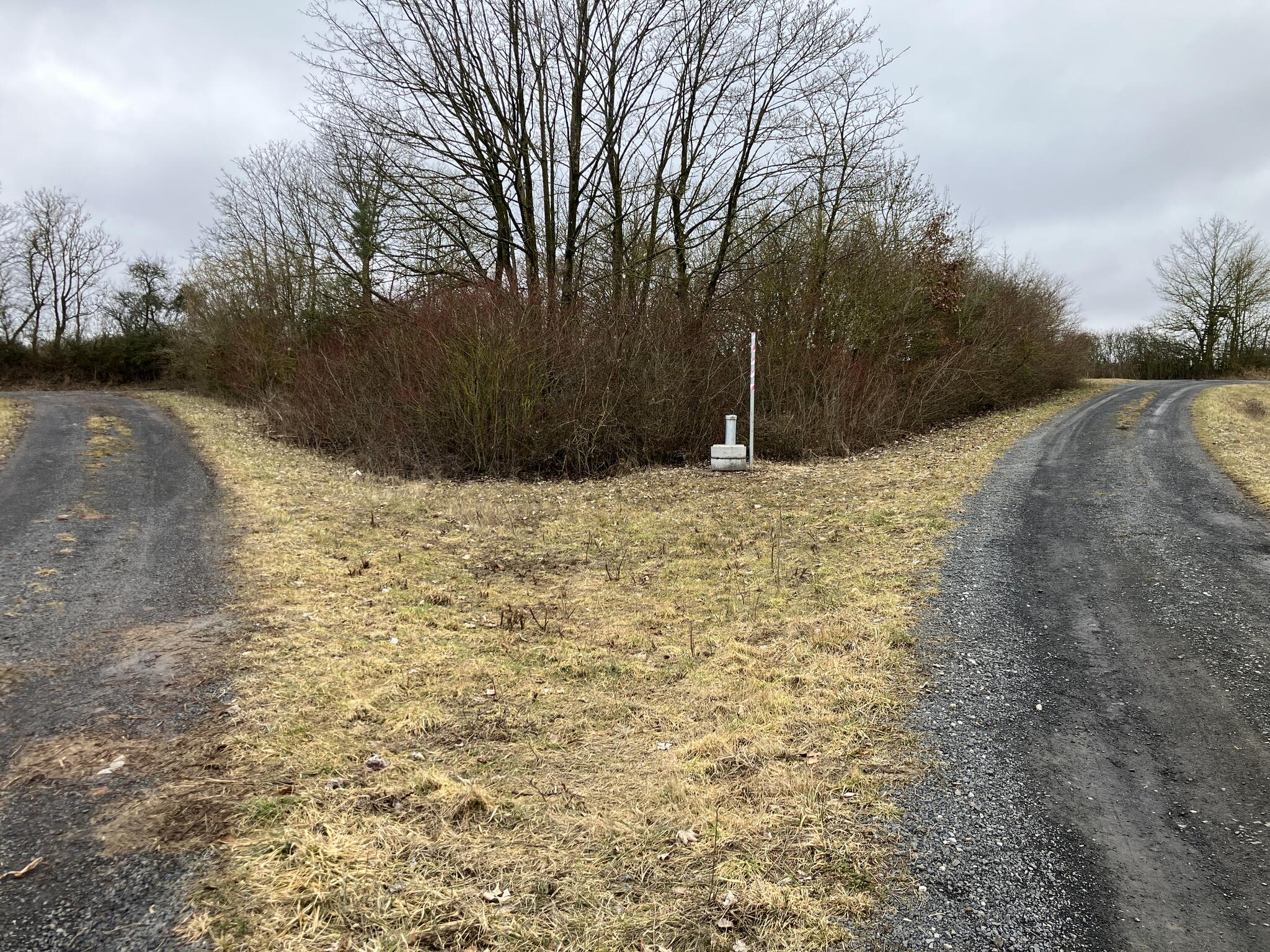
Picture of the measurement site
Location of the station Ibind km H2+3
| Measurement site | Category |
|---|---|
 Trunstadt Trunstadt | Rivers: Runoff, Waterlevel, Water temperature, Water temperature |
| Trunstadt Q | Rivers: Runoff |
| Heinersdorf | Rivers: Runoff, Waterlevel |
| Autenhausen | Rivers: Runoff, Waterlevel |